
 EN
EN
 ar
ar bg
bg hr
hr cs
cs da
da nl
nl fi
fi fr
fr de
de el
el hi
hi it
it ko
ko no
no pl
pl pt
pt ro
ro ru
ru es
es sv
sv tl
tl iw
iw id
id lv
lv lt
lt sr
sr sk
sk sl
sl uk
uk vi
vi et
et hu
hu th
th tr
tr fa
fa ms
ms hy
hy ka
ka ur
ur bn
bn mn
mn ta
ta kk
kk uz
uz ku
ku
water level gauge
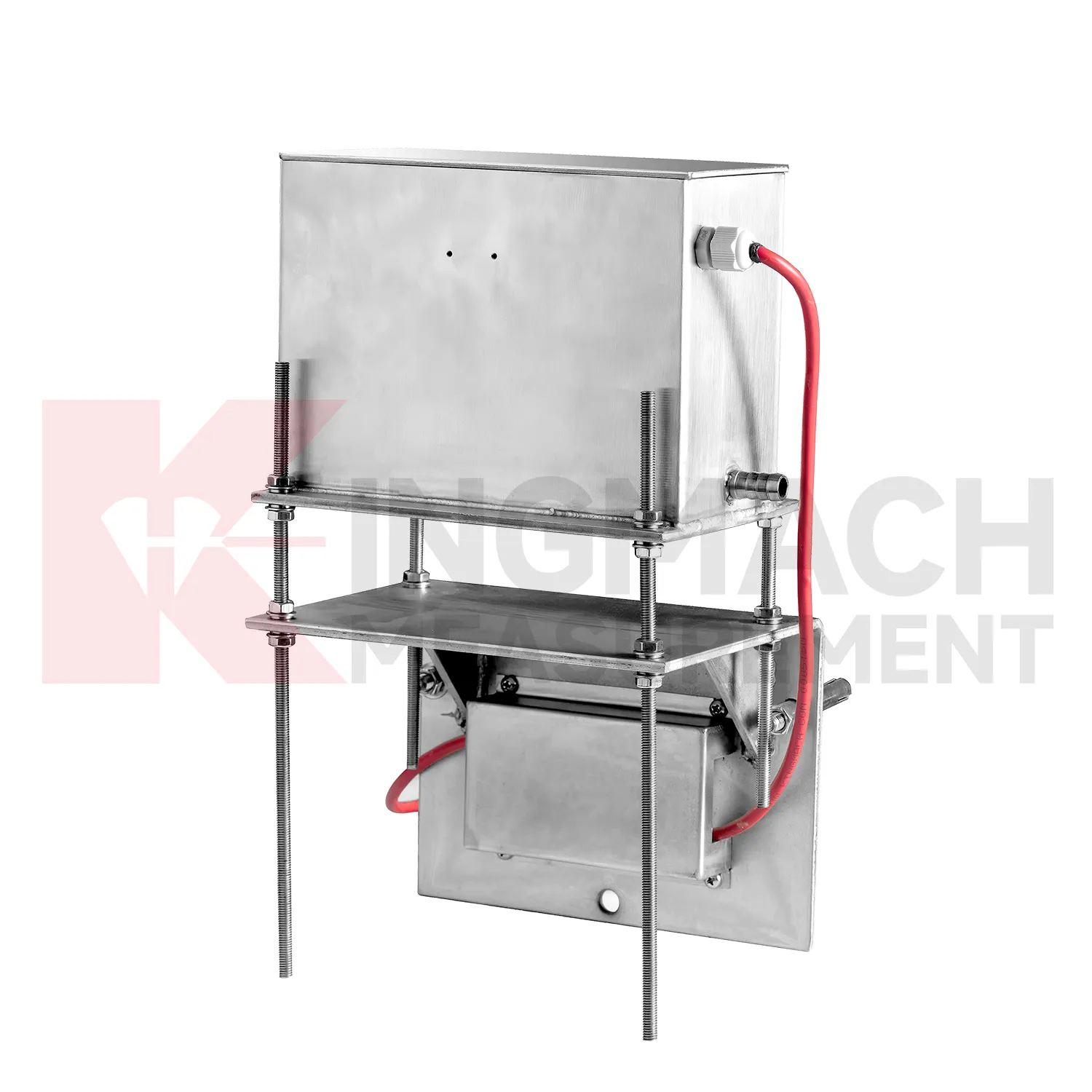
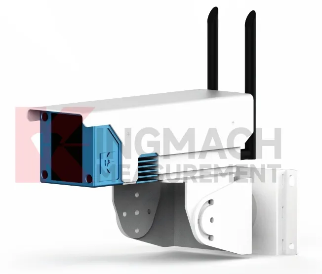
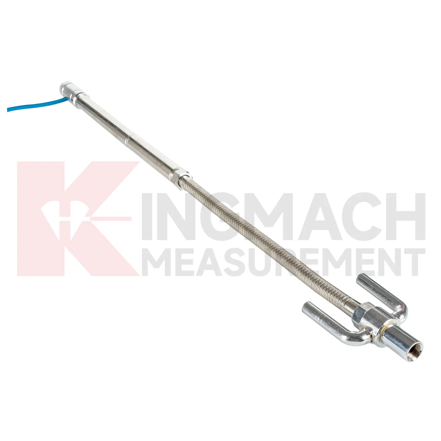
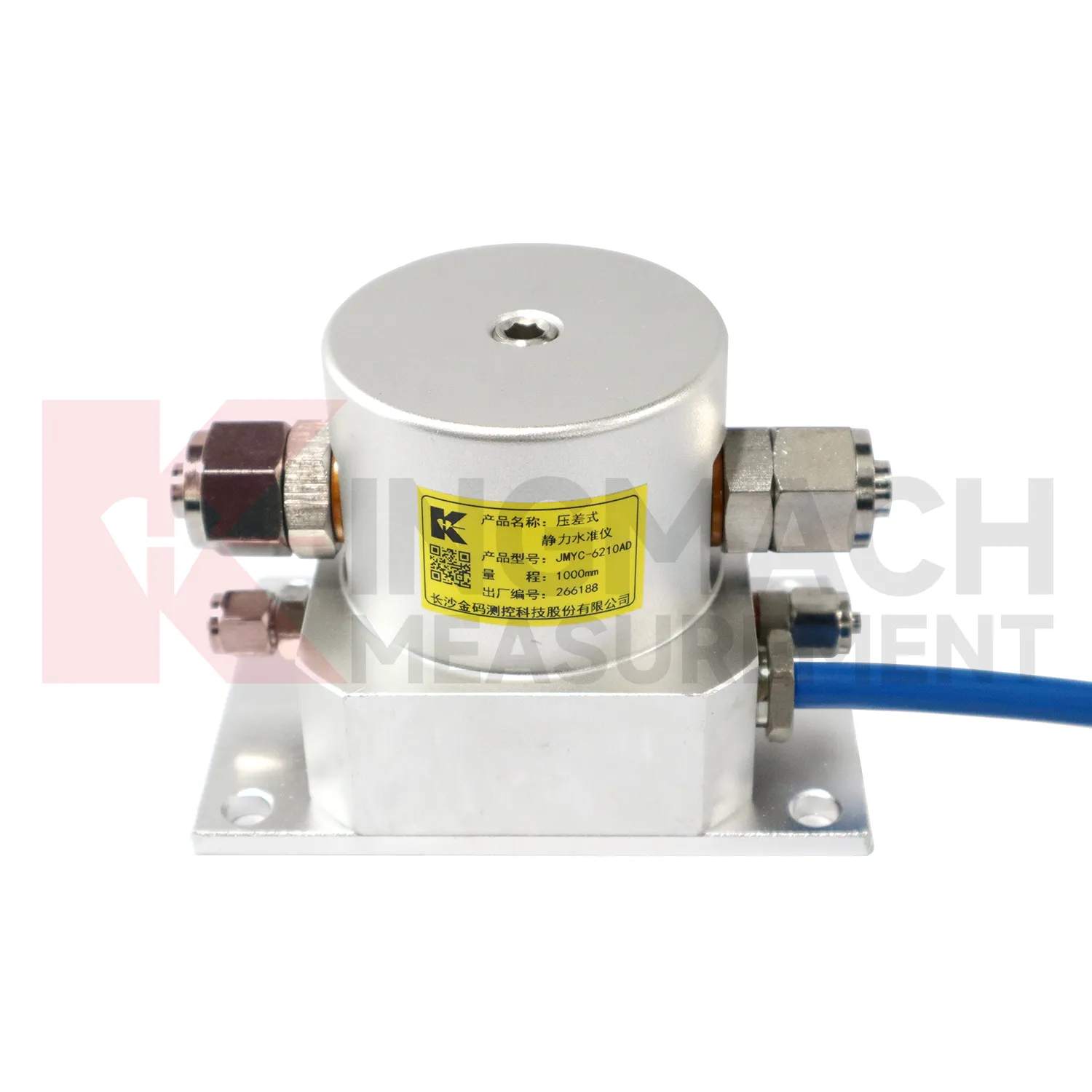
Kingmach water level gauge cover several ways to measure vertical deformation on civil and geotechnical projects. The category includes the JMDL-47XXAT smart single-point settlement gauge, JMDL-62XXADT inductive frequency-modulated hydrostatic level sensor, JMQJ-62XXADT micro range hydrostatic level sensor, JMYC-62XXAD wide-range differential pressure hydrostatic level sensor, and JMCJ-1003/1005 magnetic ring settlement water level gauge. Each product answers a different field question. A buried single-point gauge follows one embedded location in a roadbed, foundation, dyke, or tunnel invert. A hydrostatic network compares several elevations through connected liquid lines. A wide-range differential pressure system handles larger movement during reclamation or soft foundation treatment. A magnetic ring gauge separates layered underground compression from groundwater level change. Selection should begin with expected travel, required resolution, manual or automatic reading mode, access after burial, reference stability, and the structure being observed. This product group gives engineers a practical set of instruments for turning slow ground movement into named measuring points, dated baselines, and repeatable readings.
Application of water level gauge
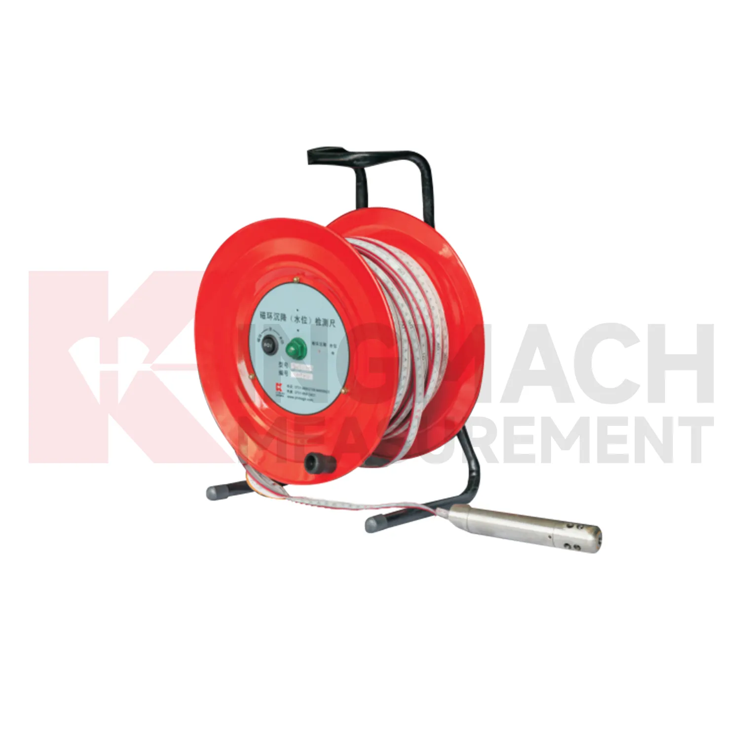
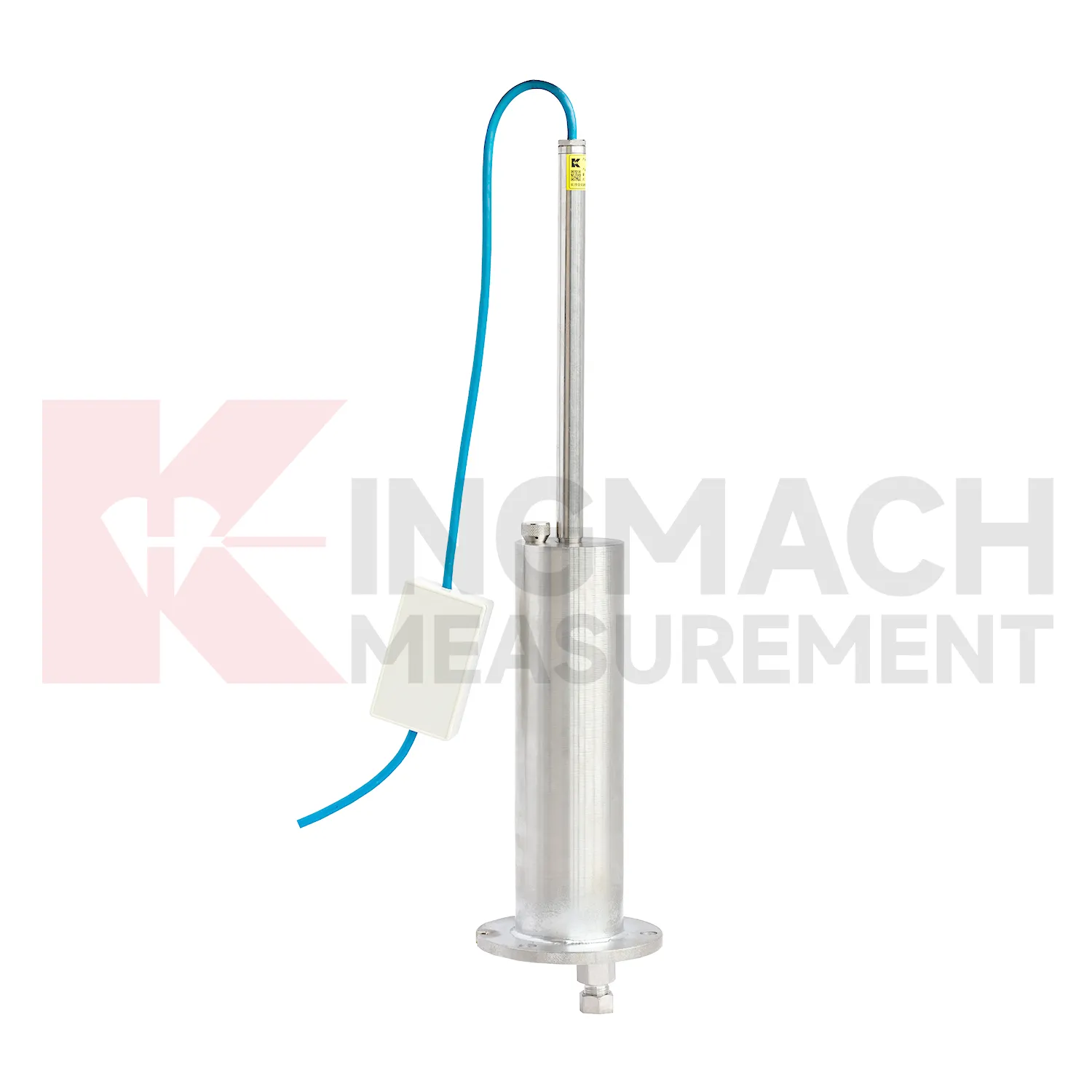
Layered soil, slope, and embankment projects often need water level gauge that can separate underground compression from groundwater variation. Kingmach JMCJ-1003/1005 magnetic ring settlement water level gauge serves that role through a probe, reel, measuring tape, magnetic rings, and water-level detection. Magnetic rings are placed at selected depths, and the probe gives audible and visual indication when it reaches a ring. Water level is detected by conductivity when the probe contacts water. Published options include 30 m, 50 m, and 100 m depths, plus or minus 1 mm accuracy, a 9V battery, and a probe about 17 cm long with 3 cm diameter. This manual instrument is useful when the engineering question is not just total surface settlement, but which soil layer is compressing. Field crews can compare ring depth, groundwater depth, rainfall, fill placement, cracks, retaining wall movement, and excavation activity. The resulting profile helps identify whether deformation is shallow, deep, water-related, or linked to a particular construction stage.
The future of water level gauge
The future of water level gauge will give more attention to reference-point control. Hydrostatic leveling systems calculate vertical deformation by comparing measuring points against a reference, so the reference must be protected, inspected, and named clearly in the platform. Kingmach products such as JMDL-62XXADT, JMQJ-62XXADT, and JMYC-62XXAD already support multi-point settlement measurement through connected liquid paths and digital output. Future systems can record reference sensor status, water pipe condition, temperature, zero value, and maintenance events together with each settlement curve. This will help engineers avoid confusing reference drift with real subgrade, bridge, dam, or building movement. Better reference records will also make handover easier when a project moves from construction control to long-term operation. The practical goal is to keep settlement data understandable after the original installation crew has left, so owners can compare old and new readings without reconstructing the field history from memory. The same record should remain readable for designers, contractors, owners, and maintenance teams, because settlement monitoring often continues long after the first construction report is finished.
Care & Maintenance of water level gauge
Waterproofing and cabinet care matter for water level gauge because many points work in wet foundations, dams, tunnels, slopes, and outdoor subgrades. Kingmach JMQJ-62XXADT lists IP68 protection, but connectors, cable glands, tubes, and cabinets still need inspection after heavy rain, flooding, dewatering, or washdown. Check for moisture inside junction boxes, loose terminals, damaged jackets, blocked cabinet drainage, and strain on cable entries. If a remote channel drops after a storm, inspect power supply and communication wiring before replacing the instrument. Keep spare seals, glands, connectors, labels, and drying materials available for field crews. Waterproof maintenance should be logged with date, location, weather, observed fault, repair action, and next reading. That record helps distinguish a real settlement change from a wet connector or cabinet fault.
Kingmach water level gauge
water level gauge are used when vertical movement must be measured before it becomes visible as cracks, uneven pavement, rail irregularity, or structural distress. Kingmach settlement products cover embedded single-point measurement, hydrostatic leveling, wide-range differential pressure monitoring, magnetic ring settlement and water level reading, and micro range deflection monitoring. On a roadbed, the reading may show whether filling and compaction are stabilizing. On a bridge, it may show deflection relative to a reference point. In a foundation pit, it may show base uplift after excavation or dewatering. The key is to treat settlement as a time-based record, not a one-time survey value. Each point should carry its model, range, reference point, baseline, installation depth, and acquisition channel so later engineers can understand what moved, when it moved, and why the value matters. During review, the team should compare the value with nearby points, construction timing, water condition, and inspection notes before deciding whether the movement is acceptable.
FAQ
Q: Which water level gauge fit hydrostatic leveling?
A: JMDL-62XXADT, JMQJ-62XXADT, and JMYC-62XXAD are used for hydrostatic or differential pressure settlement monitoring.
Q: What resolution is available?
A: JMDL-62XXADT and JMQJ-62XXADT list 0.01 mm resolution, while JMYC-62XXAD lists 0.1 mm resolution for wider ranges.
Q: Where are micro range hydrostatic sensors used?
A: They are used for dam settlement, bridge deflection, slope stability, building settlement, tunnel settlement, and subgrade settlement.
Q: What protection rating is listed for JMQJ-62XXADT?
A: The product information lists IP68 protection.
Q: What can damage hydrostatic readings?
A: Leaking tubes, air pockets, poor reference control, temperature effects, cable faults, and disturbed sensor elevations can all affect the record.
Reviews
Robert Taylor
The weir flow meter is well-built and delivers accurate measurements. Great value for water management applications.
Andrew Lee
The visualization software is intuitive and powerful. It helps us analyze monitoring data efficiently.
Latest Inquiries
To protect the privacy of our buyers, only public service email domains like Gmail, Yahoo, and MSN will be displayed. Additionally, only a limited portion of the inquiry content will be shown.
Mia***@gmail.comNetherlands
Dear team, we are interested in your readouts & data loggers compatible with multiple sensors. Do yo...
Amelia***@gmail.comSingapore
Hello, I am looking for visualization software for monitoring system data analysis. Please let me kn...
Related product categories
- deep settlement gauge
- settlement gauge price
- settlement gauges
- Smart Single-Point Settlement Gauge
- hydrostatic level sensor
- hydrostatic level sensor price
- hydrostatic liquid level sensor
- hydrostatic pressure level sensor
- hydrostatic pressure sensor level measurement
- hydrostatic level sensor principle
- hydrostatic level sensors
- hydrostatic pressure level sensors